The California Central Valley is one of the most productive agricultural regions in the world. According to Wikipedia: “On less than 1 percent of the total farmland in the United States, the Central Valley produces 8 percent of the nation’s agricultural output by value.”
However, the agricultural productivity of the region has resulted in the loss of approximately 95% of the historical wetlands in the valley. Those wetlands supported millions of migratory birds – particularly waterfowl and shorebirds – that move along the Pacific Flyway every year.
Several national wildlife refuges lie within the Central Valley but the overall number of protected acres is modest. In recent years, however, the Nature Conservancy and other non-profits developed a program called BirdReturns, which pays farmers to flood their rice fields longer than they otherwise would. This results in tens of thousands of acres of habitat to support birds. (NPR’s Planet Money podcast has a good 10-minute summary.)
The critical issues are location and timing, i.e., making sure that habitat exists where birds are and when they need it. Addressing those issues required extensive research, including analysis of eBird checklists. The program prioritizes the most important times and locations:
BirdReturns scientists use a combination of satellite imagery and on-the-ground observations from community scientists to determine when and where birds will gather each season. We then pair the satellite images and data from NASA sensors with the millions of observations uploaded monthly to eBird, a Cornell Lab of Ornithology program. Together with our long-time collaborator Point Blue Conservation Science, we have built a way to analyze these data to determine when and where birds are likely to land. The Migratory Bird Conservation Partnership also uses satellite imagery to verify that the habitat promised by our farmer contractors is being delivered.
The results appear very successful, particularly for shorebirds:
[S]urveys on the BirdReturns fields showed more than 220,000 birds representing 57 species, including every migratory shorebird species in the Central Valley. Recorded shorebird densities averaged well over 100 birds per acre in March, 10 times the number of shorebirds found in other areas outside the project
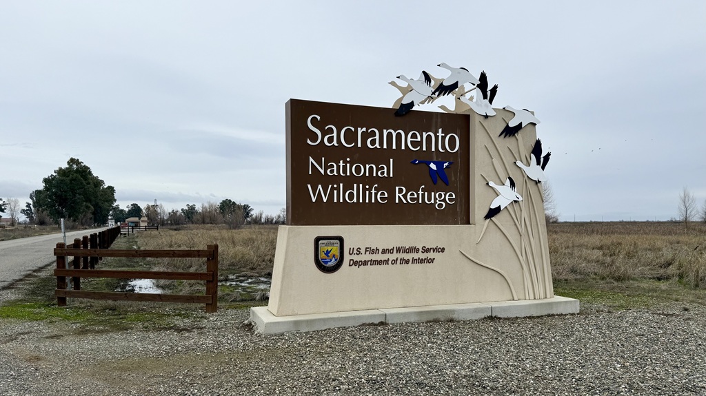
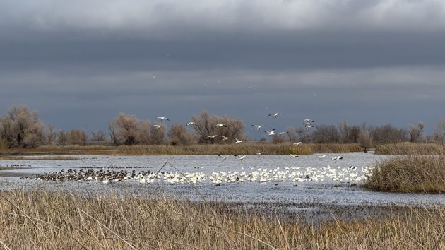
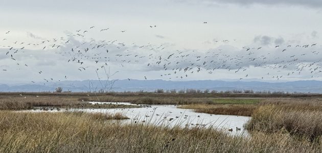
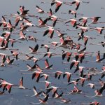
On a recent holiday trip to California, I birded three national wildlife refuges in the northern Central Valley, Colusa NWR, Sacramento NWR, and Delevan NWR. All support large numbers of wintering waterfowl. These photos are all from Sacramento NWR.
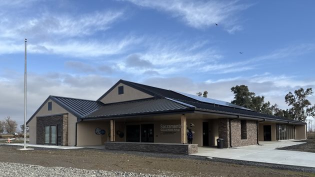
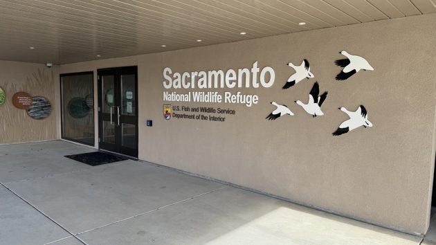
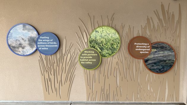
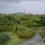
The U.S. Fish and Wildlife Service is finishing a new headquarters and visitor center (photos below) and the refuge has long had a popular auto tour route (eBird hotspot). Once the landscaping grows in, the new building should be lovely and it is great that FWS is investing in these refuges.
In December there are huge numbers of Snow Geese, but also numerous other species of geese and ducks. The video below illustrates the enormous number of Snow Geese (and a smaller number of Greater White-Fronted Geese).
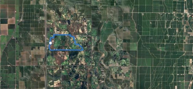
My eBird checklist is here and a trip report for the entire day (I visited three refuges) is here. The eBird mobile track showing the agricultural area surrounding Sacramento NWR is below.
Good birding in 2025!



Leave a Comment